articles
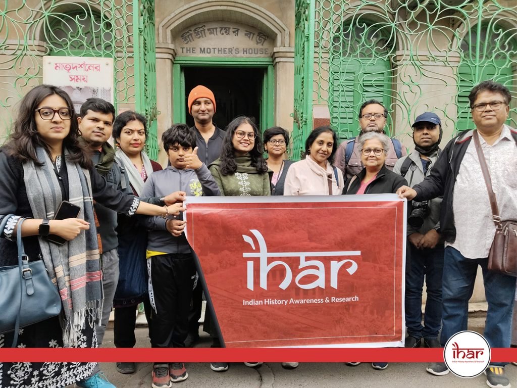
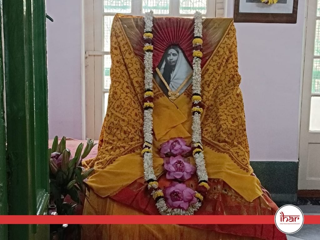
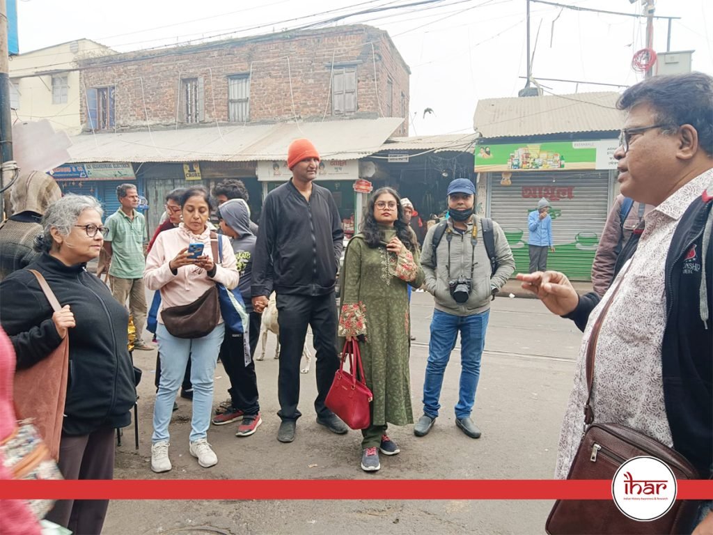
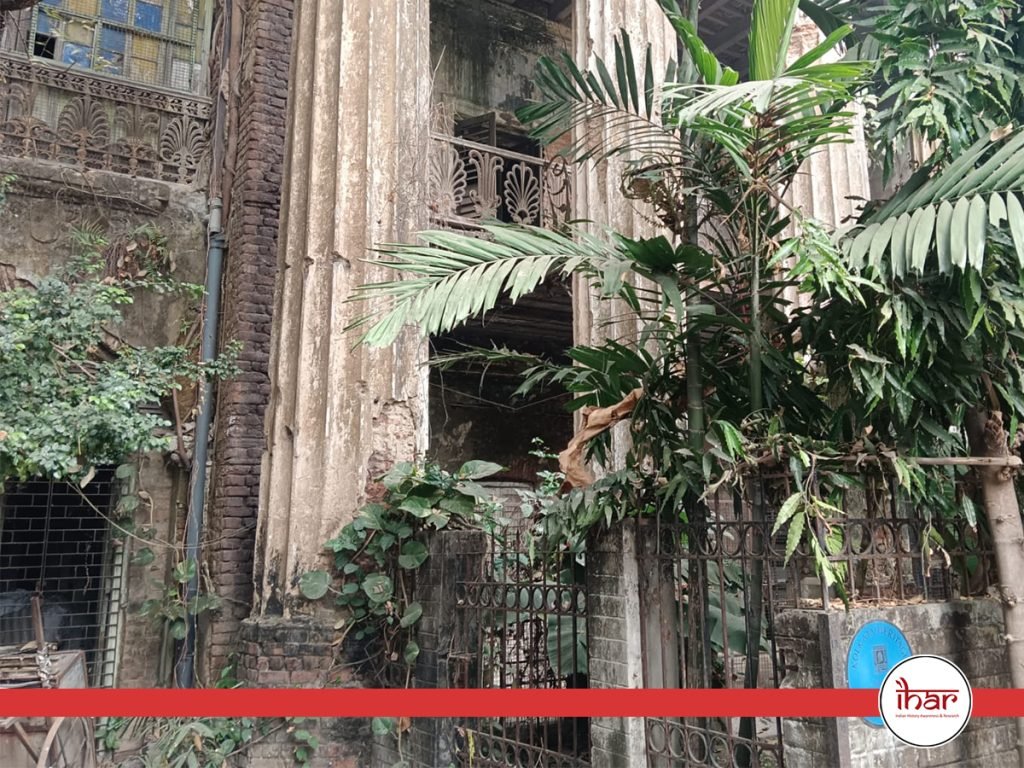
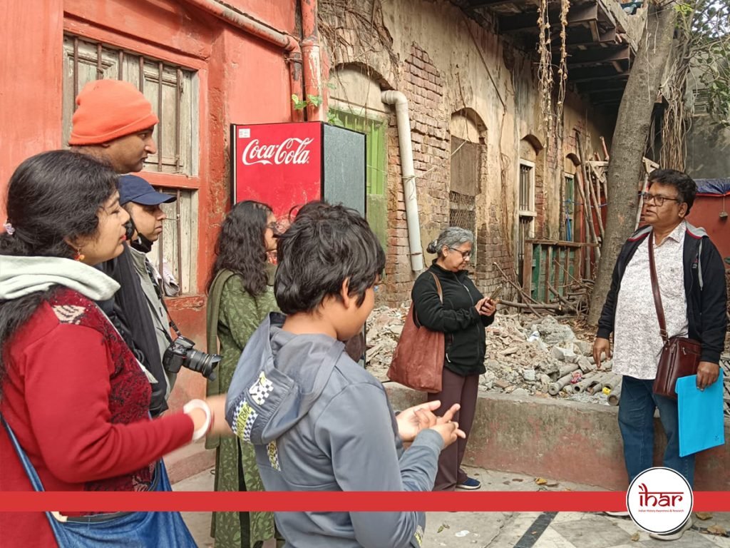
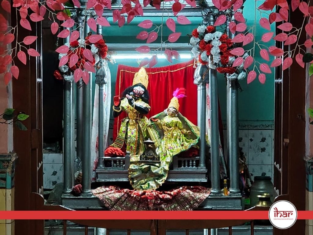
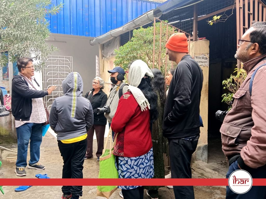
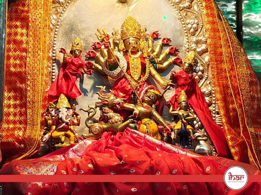
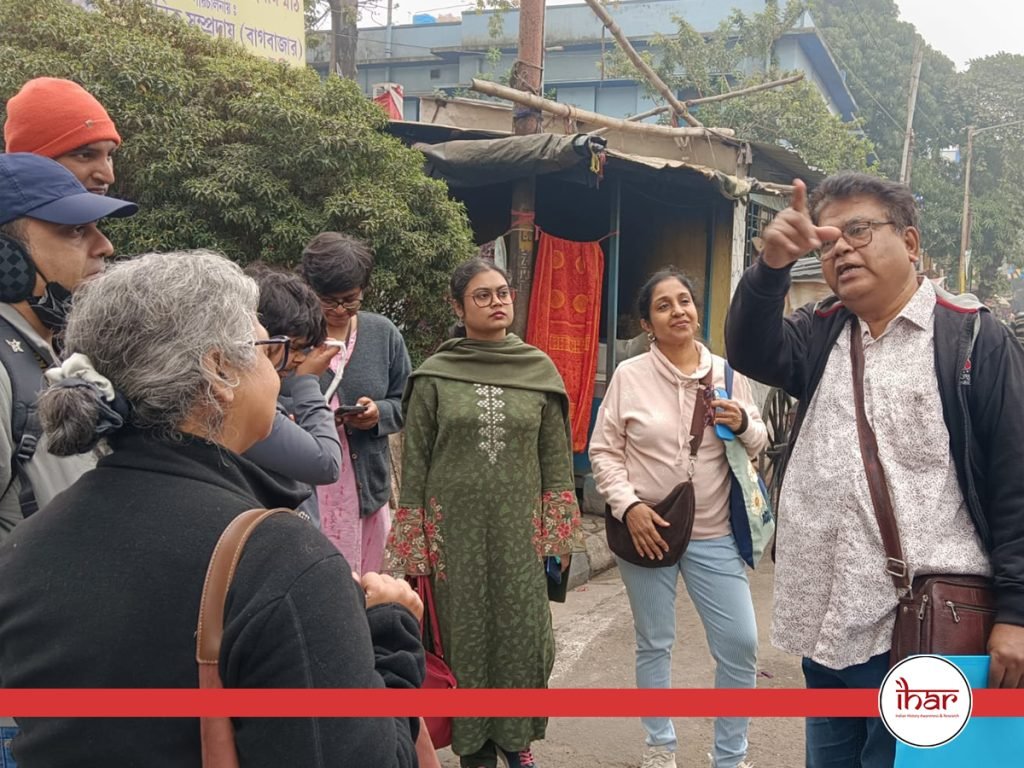
IHAR West Bengal Chapter successfully conducted The Baghbazaar Corridor Heritage Walk


Events2 weeks ago
Ancient India and our Shared Asian Heritage : Houston Event July 18th 2026

Events1 month ago
IHAR participation in Doordarshan’s flagship Sanskrit news magazine show Vartavalli

Events2 months ago
National Library and Primus Books Hosted Discussion on Revisiting Bagha Jatin and Early Revolutionaries of Bengal (1890–1915)

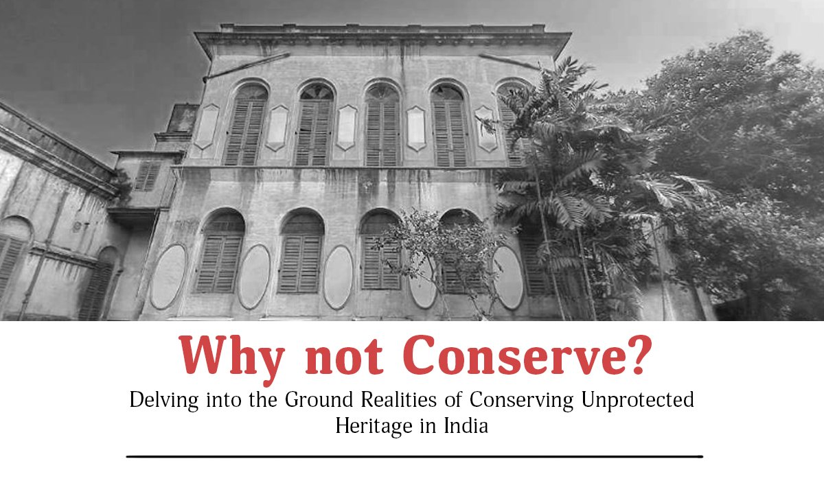
articles4 months ago
From Smoke to Siddhi: The Transformative SymbolismofDevi Dhumāvatī within the Mahāvidyā PantheonBY MONDAL RONITA

Events5 months ago
IHAR participation in Shakthi Kumbh 2026

Events2 years ago
Bharat Varsh – A Cradle of Civilzation – Panel Discussion

Videos3 years ago
Bringing our Gods back home – A Conversation with Shri Vijay Kumar

Events1 year ago
Panel Discussion: Heritage of Firebrand Revolutionaries – Bengal The Seedbed of Revolution

Events1 year ago
Bengal’s Glorious and Diverse Heritage- Traditions and Festivals – Panel Discussion
Videos12 years ago
Panel Discussion on Sati

Videos1 year ago
Debugging the wrong historical narratives – Vedveery Arya – Exclusive podcast

Videos3 years ago
The Untold History Of Ancient India – A Scientific Narration

Videos3 years ago
Some new evidence in Veda Shakhas about their Epoch by Shri Mrugendra Vinod ji

Videos3 years ago
West Bengal’s textbooks must reflect true heritage – Sahana Singh at webinar ‘Vision Bengal’
Videos3 years ago
Bringing our Gods back home – A Conversation with Shri Vijay Kumar
-
 Events2 years ago
Bharat Varsh – A Cradle of Civilzation – Panel Discussion
-
 Videos3 years ago
Bringing our Gods back home – A Conversation with Shri Vijay Kumar
-
 Events1 year ago
Panel Discussion: Heritage of Firebrand Revolutionaries – Bengal The Seedbed of Revolution
-
 Events1 year ago
Bengal’s Glorious and Diverse Heritage- Traditions and Festivals – Panel Discussion
-
Videos12 years ago
Panel Discussion on Sati